Master Hong Kong's Transport Network: Your Practical Guide to Getting Around Like a Local
From the MTR to trams and ferries, here's how to navigate the city efficiently and unlock neighbourhoods most visitors never reach.
3 min read
From the MTR to trams and ferries, here's how to navigate the city efficiently and unlock neighbourhoods most visitors never reach.
3 min read

Hong Kong's reputation for seamless connectivity is well-earned. With over 2.7 million daily MTR journeys and a transport network that operates with Swiss-watch precision, getting around is straightforward—once you know the system. Whether you're relocating or simply ready to venture beyond your usual commute, understanding your options transforms how you experience the city.
Start with the essentials: the Octopus card. Available at any MTR station for around HK$150 (including HK$100 stored value), it works across the entire network—MTR, buses, trams, and even convenience stores. This single card is your gateway to efficiency. The MTR itself connects all major business and residential districts. The Island Line links Central to Sheung Wan via Admiralty; the Tsuen Wan Line reaches through Mong Kok and Prince Edward; the Tung Chung Line whisks you to the airport or new development zones in just minutes.
But locals know the real secret: surface transport offers the city's soul. Hong Kong's double-decker trams—the world's largest fleet operating on street level—cost just HK$2.80 for most journeys on Hong Kong Island. Route 15 from Central through Wan Chai to North Point reveals street-level architecture and neighbourhood character. Similarly, the Star Ferry remains iconic and affordable at HK$2.75 across Victoria Harbour; the 10-minute crossing from Central to Tsim Sha Tsui beats any tourist trap.
Bus networks demand respect too. The 260 routes require strategy, but apps like Citymapper or Google Maps simplify journey planning. The new North-South Link bus corridors, implemented over the past two years, have dramatically reduced travel times between the New Territories and Hong Kong Island, making areas like Yuen Long increasingly accessible for dining and weekend exploration.
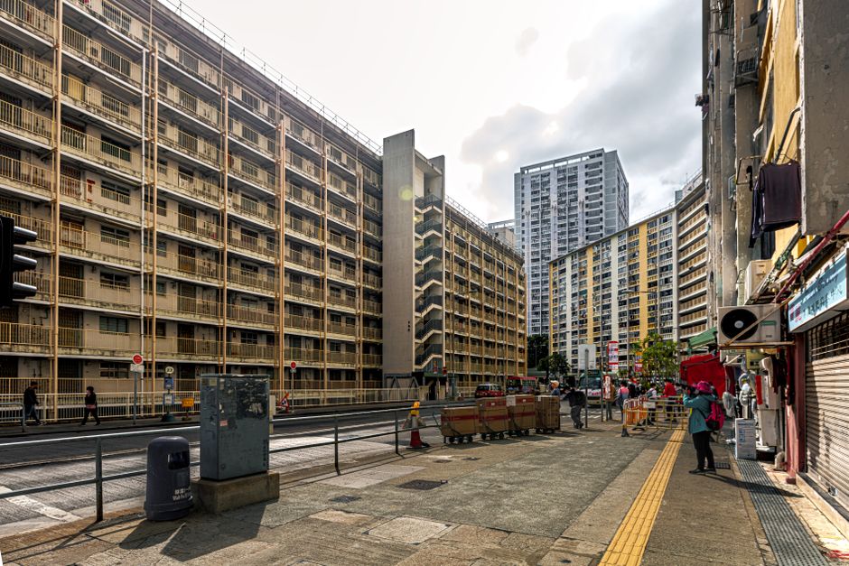
For those exploring Central's narrow lanes or Causeway Bay's dense streets, walking remains unbeatable. But know the rhythm: peak hours (7-10am, 5-8pm) transform public transport into genuine endurance tests. Off-peak travel—mid-morning or post-9pm—offers breathing room and better observation of your surroundings.
Consider also the Minibus network. These green and red vehicles operate fixed routes but with flexibility that taxis lack and costs lower than traditional buses. They're essential for reaching smaller neighbourhoods in the New Territories and rural areas like Sai Kung or Tap Mun Island.
Finally, embrace apps: MTR Mobile for station updates, Citymapper for integrated planning, and Moovit for real-time bus tracking. Combined with your Octopus card, these transform Hong Kong from maze into navigable wonderland. The city rewards those who explore methodically—and transport is your tool.
This article was compiled by AI from the sources linked above and screened before publishing. See our editorial standards.

About this article
Published by The Daily Hong Kong
Spread the word
Daily brief
Free, in your inbox before 7am. Weekdays.
Before you go
The day's Hong Kong news in a 2-minute read. Free, weekday mornings.